
Using drones for private investigations means navigating an ever-changing legal labyrinth, from state laws to FAA regulations.
DISCLAIMER: We are not attorneys. You should not construe anything in this article as legal advice! Please use common sense and follow the statutes of the individual states where you practice.
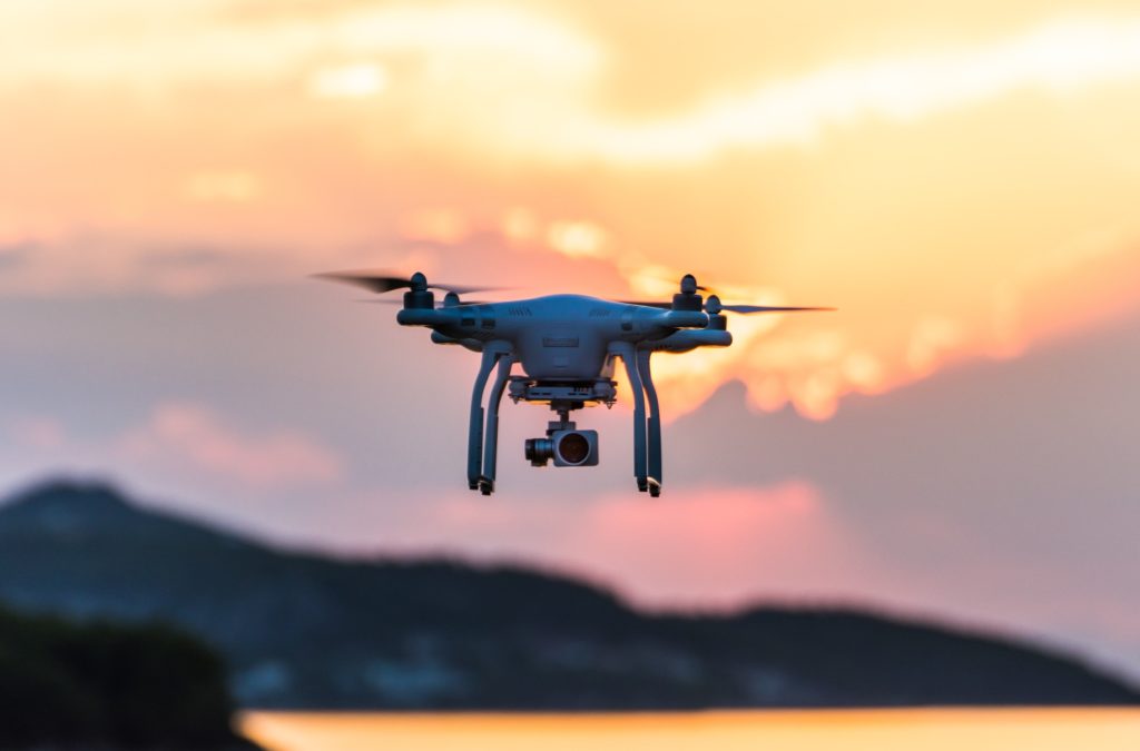
What is a drone?
A drone is any vehicle that can be piloted remotely. There are two main categories of drone: the quadcopter type and the unmanned aerial vehicle (UAV).
The quadcopter (pictured above) is the “civilian” version, available to the general public from retailers such as Amazon or Best Buy. Their costs range from a few hundred dollars to several thousand. They have a wide range of accessories and upgrades so users can customize the crafts and cameras to suit their needs. The quality of the images from these products is far inferior to that of an unmanned aerial vehicle, or UAV.
A UAV is generally considered the “aircraft type” of drone and is the type most commonly associated with government agencies and the military. They have very powerful cameras and can even launch weapons on a specific target from the air. Their uses and specs are highly classified and far outside the scope of this article.

How are drones used in private investigations?
Private investigators can use drones for many purposes, depending on the laws where they do business. For example, drones can be useful in litigation cases requiring aerial footage of a crime scene or search grid, as well as aiding with accident reconstruction.
Drones can also help with pre-surveillance planning, helping the investigator map out approach and exit routes and the best sites for stationary surveillance. They’re useful for finding out out what vehicles are parked at a particular location. And drones are also beneficial for photographing areas that are inaccessible by foot or vehicle, such as over water or in rugged, remote areas.
Why not just use Google Earth?
When used correctly, Google Earth can be a valuable tool for private investigators. It’s a great way to pre-surveil an area and map out topography and surrounding neighborhoods. It’s also useful for reviewing roadways and sussing out the best spots to begin surveillance.
One huge caveat: Google Earth is a one-shot image — we can’t know for sure when an image was taken or how much has changed since, which means these images are useless for establishing real-time chronologies of who, what, where, and when. That’s why Google Earth should not be considered as physical evidence in a court of law.
Using Google Earth to plan your surveillance can also be tricky. Since the image was captured, there may be new construction, road closures, or demolitions. However, the use of aerial drone imagery alongside Google Earth can help show how the topography has changed over time. For example, construction vehicles may have damaged county sidewalks; that damage may have caused a jogger to trip, fall, and sustain injuries. This evidence would be valuable to an attorney representing a construction company or homeowner in a lawsuit.
What are the legal requirements for using drones in an investigation?
For federal compliance, the FAA requires owners to register any unmanned aircraft for recreation and commercial use. Regardless of intended use, all vehicles MUST be registered with the FAA, with no exceptions. Check out the FAA’s site explaining how to register and what regulations apply to the drone use you have in mind. You’ll also need to understand the FAA’s airspace rules — violating restricted airspace can get you in all kinds of trouble. Fortunately, there’s an app for that: recreational flyers can download the B4UFLY mobile app to see interactive maps of airspace to avoid.
For commercial uses, if you don’t already hold a pilot’s certificate under the FAA’s Part 61, you’ll have to jump through a lot of hoops, including a knowledge test, to get the Remote Pilot Certificate. Those steps are outlined here.
When it comes to surveillance, statutes vary from state to state. In Texas, where we practice, the law does not permit drone use for human surveillance. Any footage containing images of people must be destroyed once the investigator becomes aware that people are visible in the recording, whether they are identifiable or not.
Here’s how that section of the statute reads:

Private property surveillance is permissible only with consent from all property owners. As long as you destroy any footage you get of people or private property (without the owner’s consent), drones can be a wonderful recon tool. They can help you get the lay of the land, as well as information for a case that you might not be able to obtain any other way.
Use common sense and good judgment, and respect people’s rights. Don’t risk your license by doing something stupid, such as peeking over a privacy fence or inside the windows of a home. Always check the statutes in the state where you operate, to make sure you stay within the law. (This site provides a good overview but may not be current.) When in doubt, consult an attorney.
Final Approach
As long as you stay within the bounds of state laws, FAA regulations, and professional ethics, I don’t see any problem with using drones during an investigation. They can be an effective tool for pre-surveillance recon, property searches, surveys, accident and incident reconstructions, litigation support, and collecting photographic evidence. This makes drones a very attractive tool, not only for private investigators but also for the attorneys and clients who hire us. They offer us a wider perspective, a view we might not have otherwise seen.
Stay informed, and fly right. Otherwise, you may get grounded for good.

A version of this article first appeared on the Red Door Investigations blog.
About the authors:
Shaun Culwell is the owner of Red Door Investigations in Fort Worth, Texas. He has a Ph.D. in psychology from the University of Texas at Arlington and is a licensed pilot and certified scuba instructor.
Dannielle Rutherford is the lead private investigator for Red Door Investigations. She curates much of the content you see on the website. She has three beautiful daughters and one granddaughter. In her spare time, she enjoys photography, reading, and sketching.